Steamboat’s finest luxury residences.

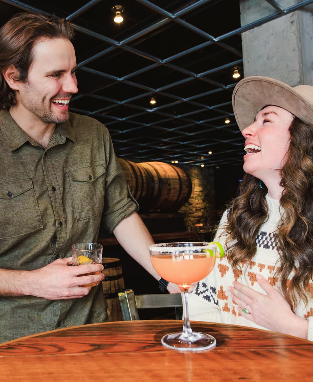
The Amble

We're spotlighting different aspects of The Amble, and what makes life here so special. We'll be releasing new videos over the next few months.
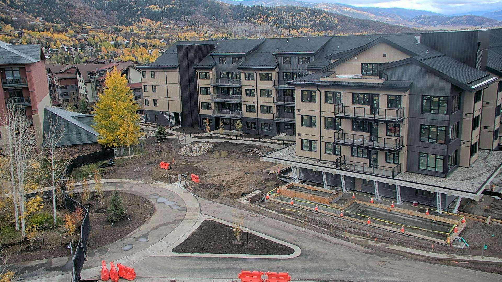
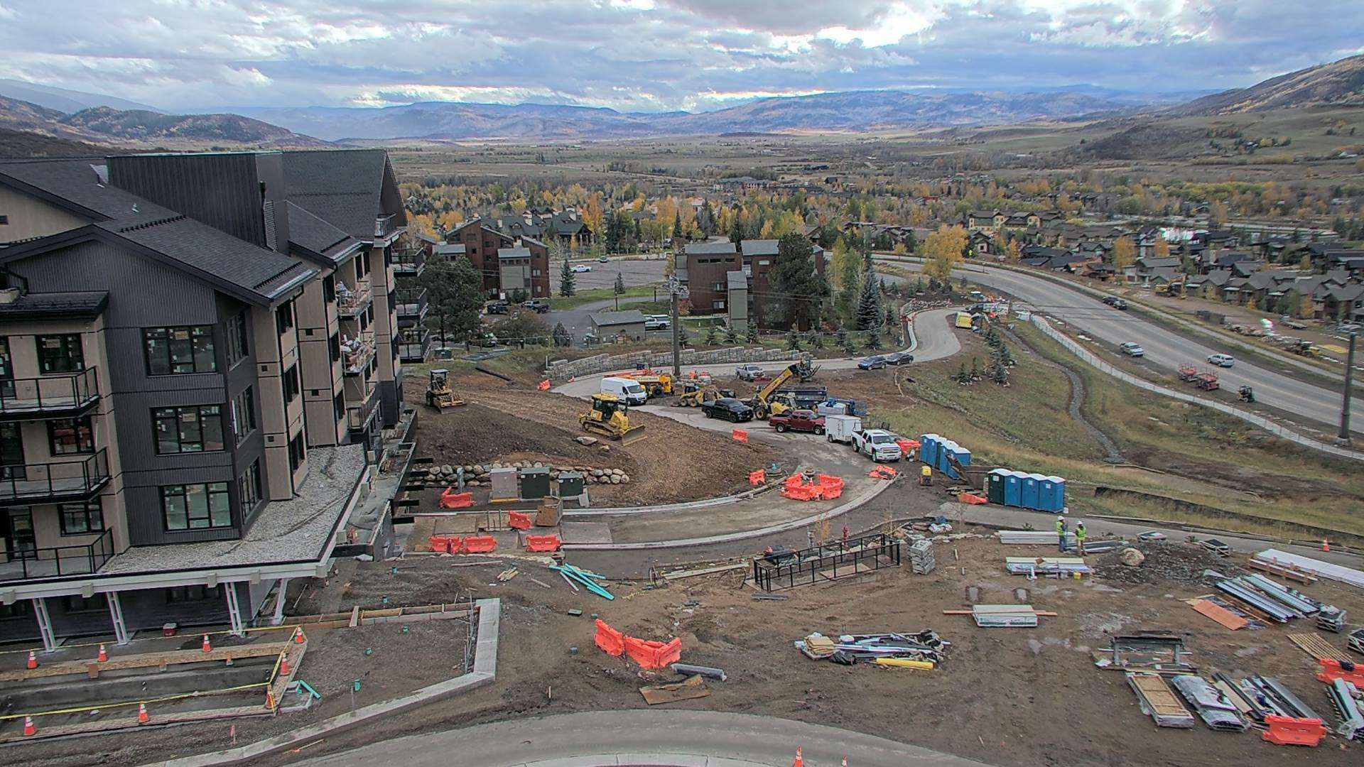
Construction is underway.
View our construction cams to see our progress.